Earthquake press kit
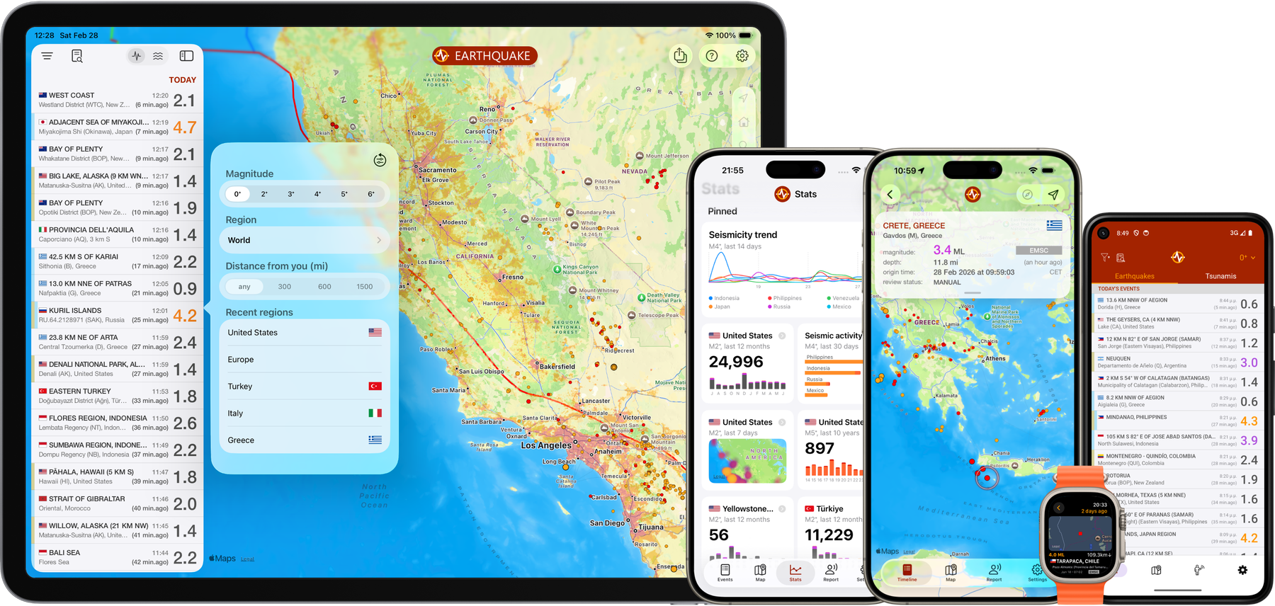
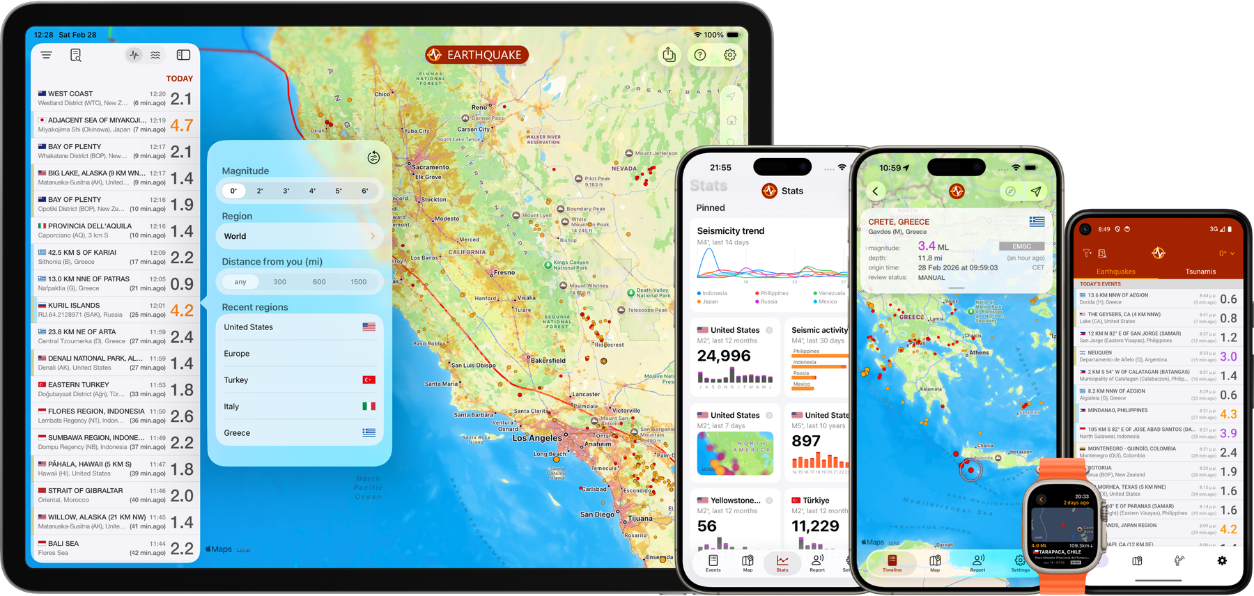
Facts, copy and brand assets for anyone covering Earthquake, the earthquake-tracking app for iPhone, iPad, Apple Watch and Android.
Key facts
- Cross-platform
- Available on iPhone, iPad and Apple Watch, and on Android
- 2013
- Launched on the App Store
- 7M
- downloads on iOS (iPhone, iPad and Apple Watch)
- 4.7 / 5
- average App Store rating across all countries, from more than 260,000 ratings
- 18
- languages
- 50+
- official agencies we gather data from
- Free
- to download, with an optional PRO upgrade
Boilerplate
Earthquake is an independent earthquake-tracking app for iPhone, iPad, Apple Watch and Android that consolidates data from more than 50 official seismological agencies into a single feed, with push notifications, crowdsourced felt reports, tsunami bulletins, a historical catalog dating back to 1970 and a customizable statistics dashboard.
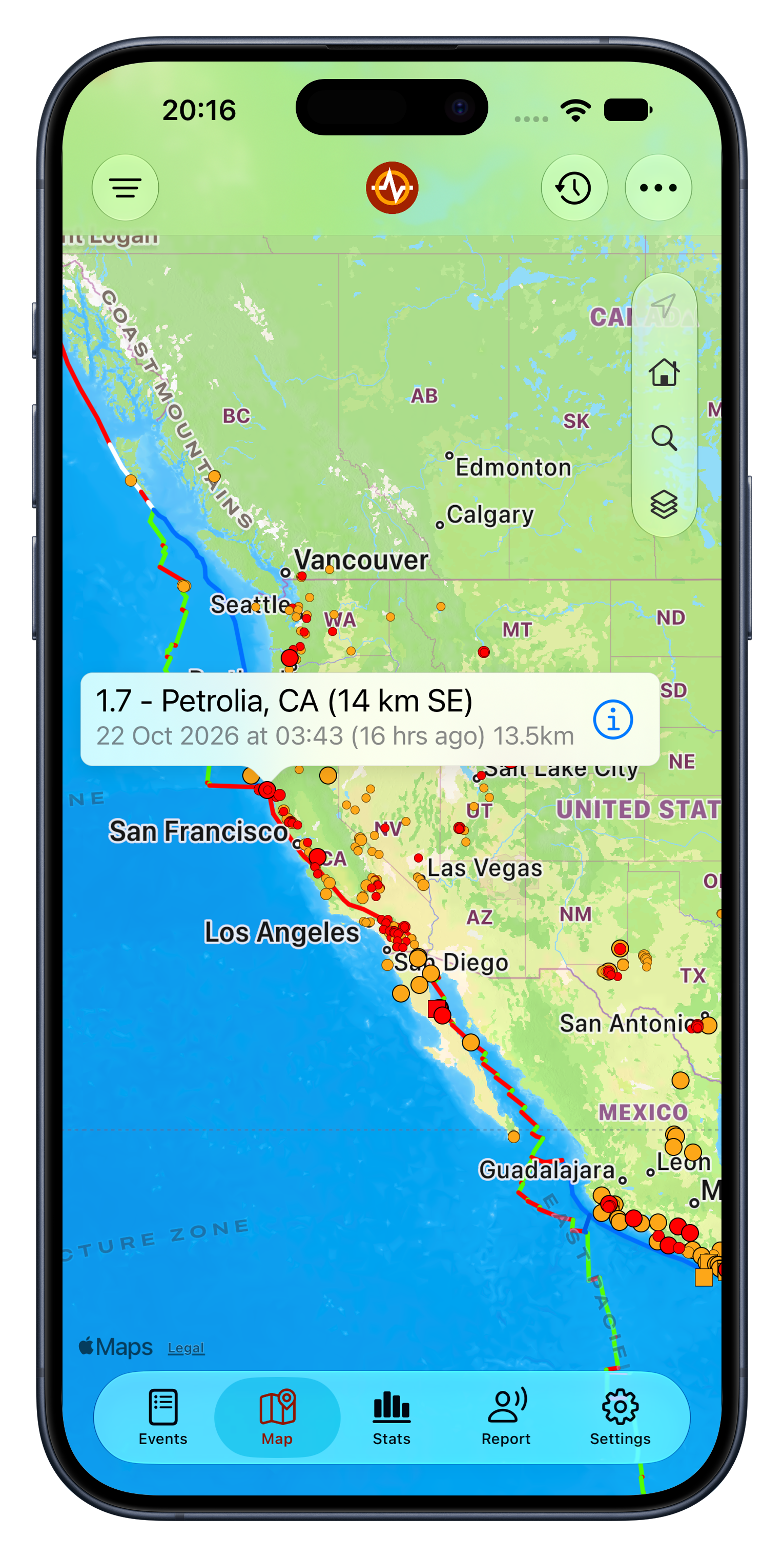
Earthquake is an independent earthquake-tracking app for iOS (iPhone, iPad and Apple Watch) and Android, launched in 2013 by Nico Tranquilli. The same earthquake is typically reported by several agencies, each with its own estimate of origin time, location and magnitude, often revised in the hours that follow. Earthquake’s backend continuously processes the feeds of more than 50 official seismological agencies worldwide, matches the reports that describe the same event, and presents a single entry built on the most authoritative solution available, usually that of the national network responsible for the region, updating it as agencies revise their data. Users can explore events on a map, a timeline and a detailed event view, follow tsunami bulletins, search a historical catalog dating back to 1970, and build a customizable statistics dashboard. Felt reports submitted by users are aggregated into crowdsourced estimates of where an event was felt and, when enough of them coincide, into a preliminary location for a probable event, pending official confirmation. The optional PRO upgrade unlocks push notifications for the locations and magnitudes users select, sent as soon as the data is publicly released by the official source, or faster, preliminary notifications based on user reports, together with a range of further features. Each event is enriched with a place name, country and seismic region, an offshore flag, and estimates of the population and built-up area around the epicenter, and the map can be overlaid with tectonic plate boundaries, volcanoes, nuclear power plants and population density. Widgets, Siri Shortcuts, data export, social sharing and thorough accessibility support complete the app, which is free to download, has no ads, and is available in 18 languages.
What sets it apart
-
One timeline, 50+ sources
Several agencies usually report the same earthquake, each with its own origin time, location and magnitude. Earthquake matches those reports and shows one entry built on the most authoritative solution, usually the national network for the region, updated as agencies revise their data. Before it is published, each entry is enriched on Earthquake’s servers with a place name, seismic region, offshore detection and population estimates around the epicenter (see Enriched event data below). The timeline can be filtered by magnitude, by country or continent (up to four territories combined in one filter), or by distance from the user’s location.
-
Crowdsourced felt reports
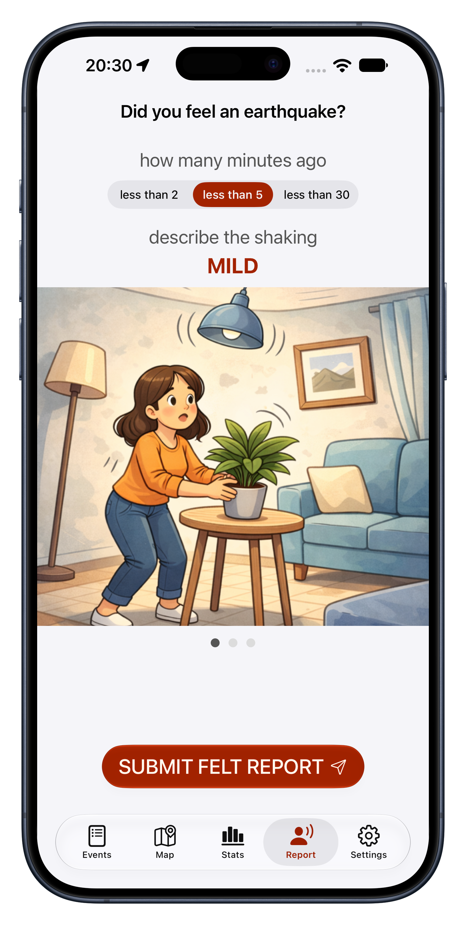
Users can report shaking they have felt. Reports are clustered on Earthquake’s servers to estimate where an event was felt and, when enough of them coincide, to flag a probable event and its approximate location, typically before any official solution is available. These estimates are marked as unverified, correlated with official data as it arrives, and available as opt-in preliminary notifications. Locations are blurred to 500 meters before they leave the device.
-
Configurable push notifications
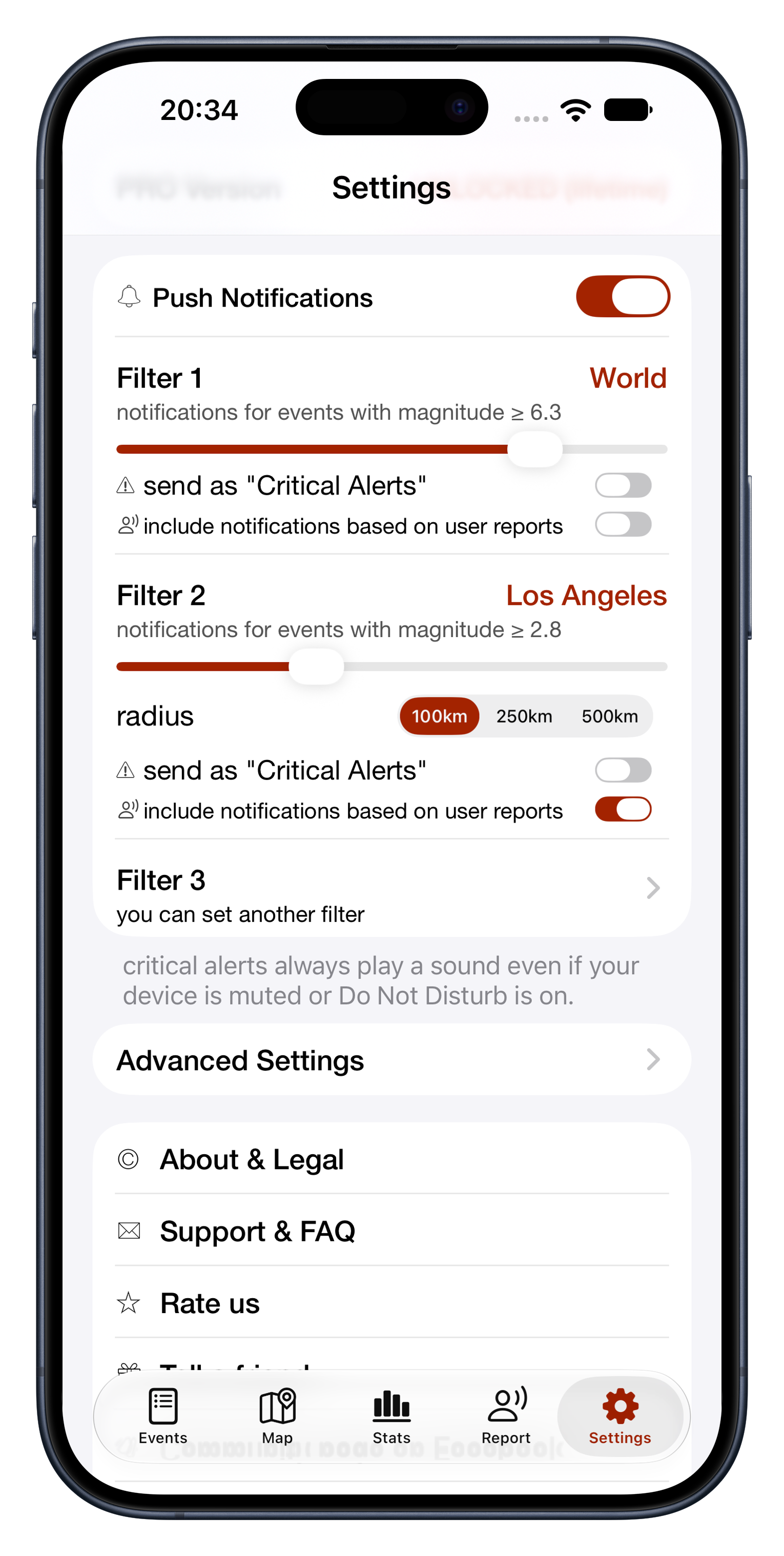
With PRO, up to four push notification filters by location and/or magnitude, sent as soon as the data is publicly released by the official source, with Critical Alerts support on iOS. Users can also opt in to faster, preliminary notifications generated from felt reports processed by Earthquake, and opt out of notifications for offshore, deep or unpopulated-area events.
-
Enriched event data
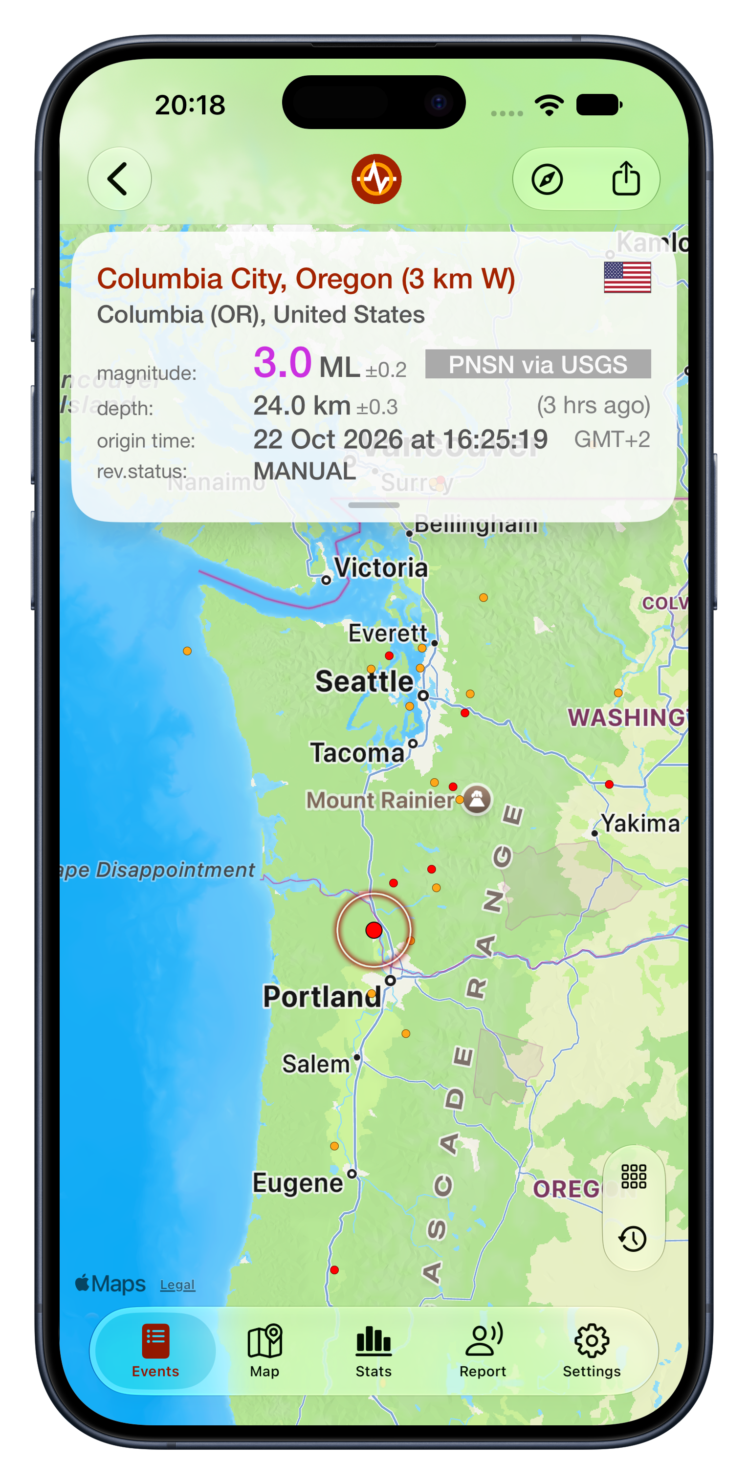
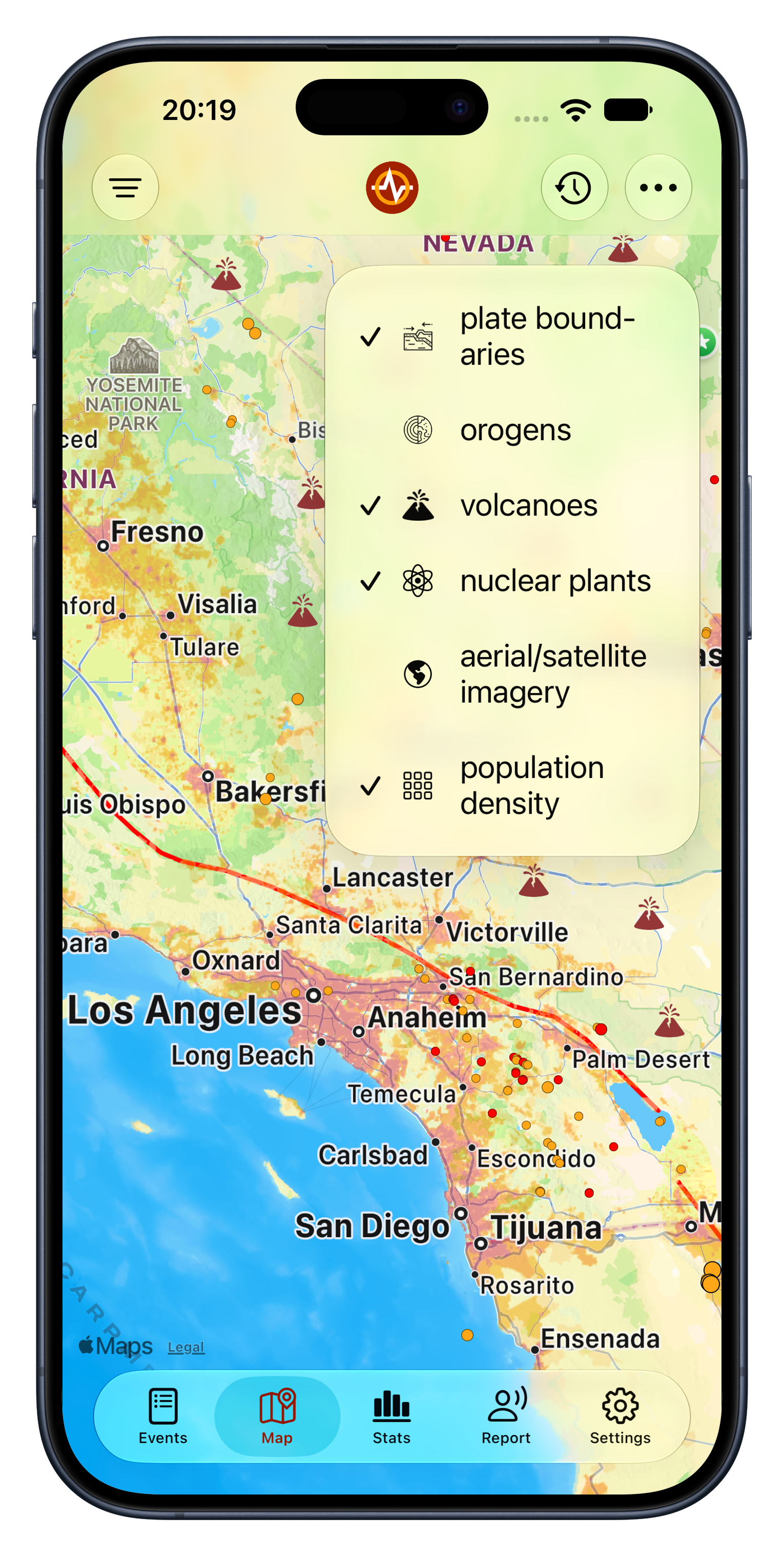
Agencies publish little more than time, coordinates, depth and magnitude. Earthquake enriches every event on its servers with a place name and administrative region, country and continent, the Flinn-Engdahl seismic region, an offshore flag, the magnitude type and review status, and estimates of the population and built-up area around the epicenter derived from the EU’s Global Human Settlement Layer. On the map, overlays add tectonic plate boundaries, orogens, volcanoes, nuclear power plants and population density.
-
Historical catalog and statistics
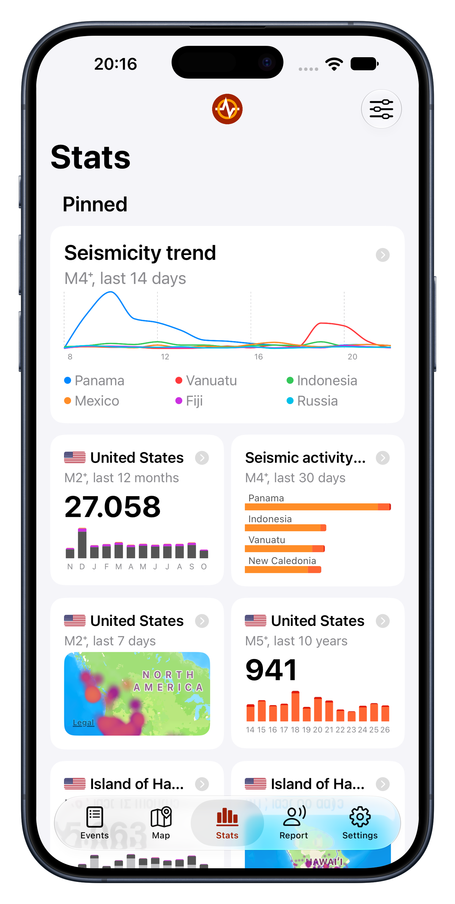
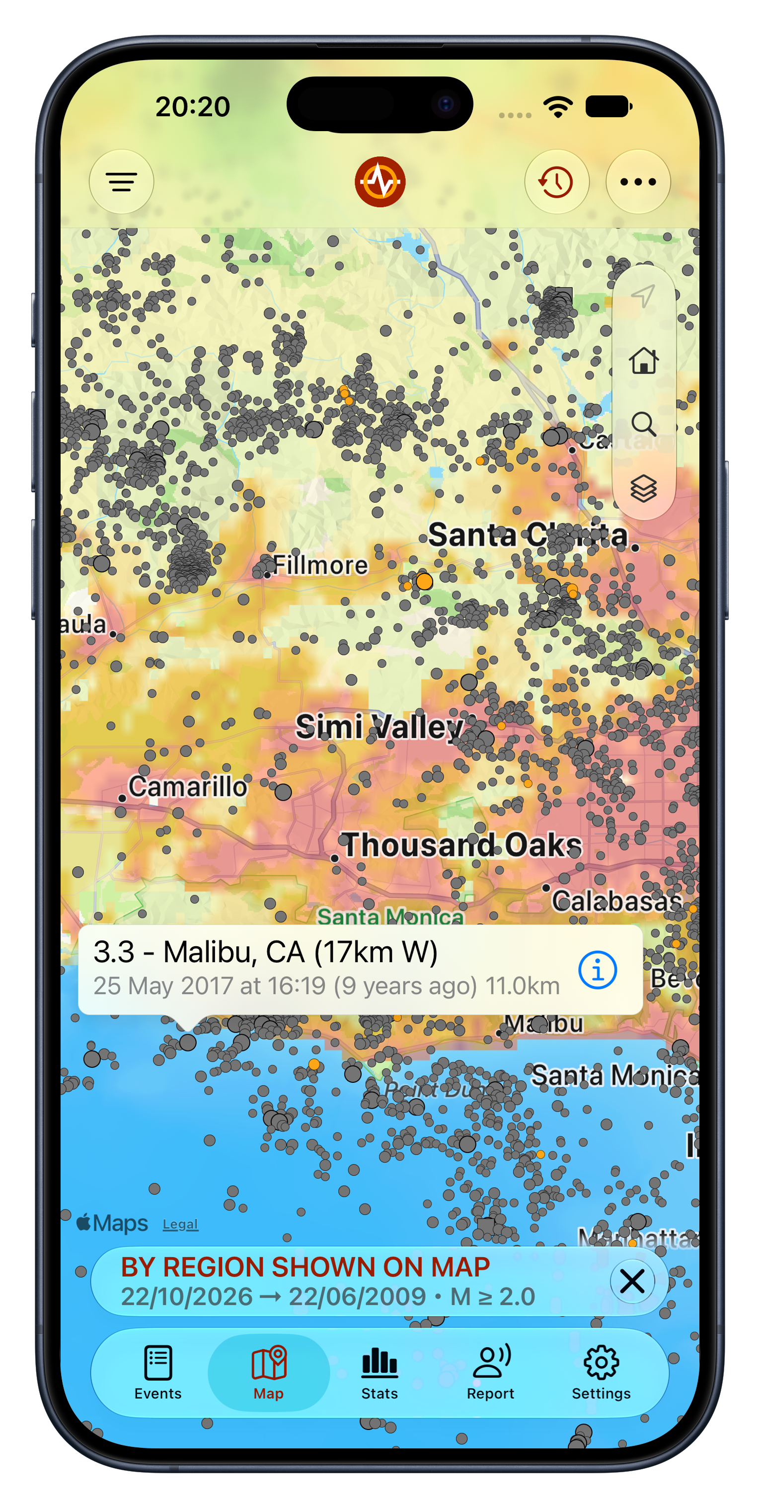
A catalog covering every region back to 1970, searchable by date, place or reporting agency, and a dedicated Stats tab with customizable charts that can be pinned to a personal dashboard.
-
Tsunami information
Bulletins from NOAA’s Pacific and National Tsunami Warning Centers and from Indonesia’s BMKG, alongside the earthquake feed.
-
Built for everyone
Available in 18 languages on iPhone, iPad, Apple Watch and Android. Accessibility is treated as a core requirement, not an afterthought: on iOS the interface is labeled for VoiceOver, with hints, custom actions and spoken announcements for live updates; text follows Dynamic Type throughout; map symbols are distinguished by shape as well as color; maps and images are protected from Smart Invert; and key interactions are accompanied by haptic feedback.
-
Part of the platform
Home Screen and Lock Screen widgets, Siri Shortcuts, data export to mapping apps and social sharing (iOS).
Infrastructure
When a major earthquake strikes, Earthquake’s traffic rises by orders of magnitude within minutes, as people in the affected region open the app at the same time. The service is built for that moment.
Agency feeds are ingested continuously on dedicated backend servers, where events are consolidated, enriched with location and population data, and the live data snapshot is rebuilt every few seconds. The apps read the data served from the edge of a global content delivery network on a premium network tier. The whole backend infrastructure is replicated across two zones, one in the United States and one in Europe, for redundancy and failover.
This has proved its worth many times. During major earthquakes the app has repeatedly climbed to #1 overall on the App Store in the affected countries, with traffic to match, and has kept serving throughout.
Product details
| Name | Earthquake (“Earthquake - alerts and map” on the US App Store; localized names in some markets, see Using our name and data) |
|---|---|
| Founder | Nico Tranquilli |
| Launch | May 2013 (iOS) |
| Platforms | iPhone, iPad and Apple Watch (iOS 16.6 or later); Android |
| Price | Free, with no ads. The optional PRO upgrade is a one-time purchase, or an annual subscription on iOS |
| Notifications | Up to four filters by location and/or magnitude (PRO); opt-in preliminary notifications based on user felt reports; opt-out for offshore, deep or unpopulated-area events; Critical Alerts on iOS |
| Data sources | Official seismological agencies worldwide, including USGS, EMSC, GeoNet, GFZ Geofon, NRCAN and BGS; tsunami bulletins from NOAA and BMKG; crowdsourced felt reports from app users |
| Links | App Store · Google Play · Website · FAQ |
Brand assets



Brand colors
Using our name and data
- NameEarthquake. In some markets the app carries a localized name on the device: Séisme (France), Deprem (Türkiye), Σεισμός (Greece), Potres (Croatia) and 地震 (Chinese). In running text, “the Earthquake app” avoids confusion with the common noun.
- Where the data comes fromEvent data comes from official seismological agencies, and the app shows which agency reported each event. Crowdsourced felt reports are the exception: they come from app users, are marked as unverified estimates, and are correlated with official data as it arrives. Earthquake is an independent app, not affiliated with or endorsed by any agency or government body.
- Not an early warning systemEarthquake reports earthquakes after they have happened, from official agency data and from users’ felt reports. It does not predict earthquakes or warn before shaking starts, so please don’t describe it as an early warning system or an official warning service.
- Crediting the sourceName the agency, for example: “Magnitude 5.8, according to USGS, via the Earthquake app.”
- Early figures changeAgencies often publish an automatic first estimate and revise the magnitude and location after review, and the app follows every update. When quoting a figure, use the current value and name the agency that issued it.
- Using the assetsThe logos, icon and screenshots on this page are provided solely for editorial coverage of the Earthquake app: articles, reviews, listings and broadcasts that are about the app. They must be used as supplied, without alteration, and may not be used for any other purpose, product or publication without written permission.
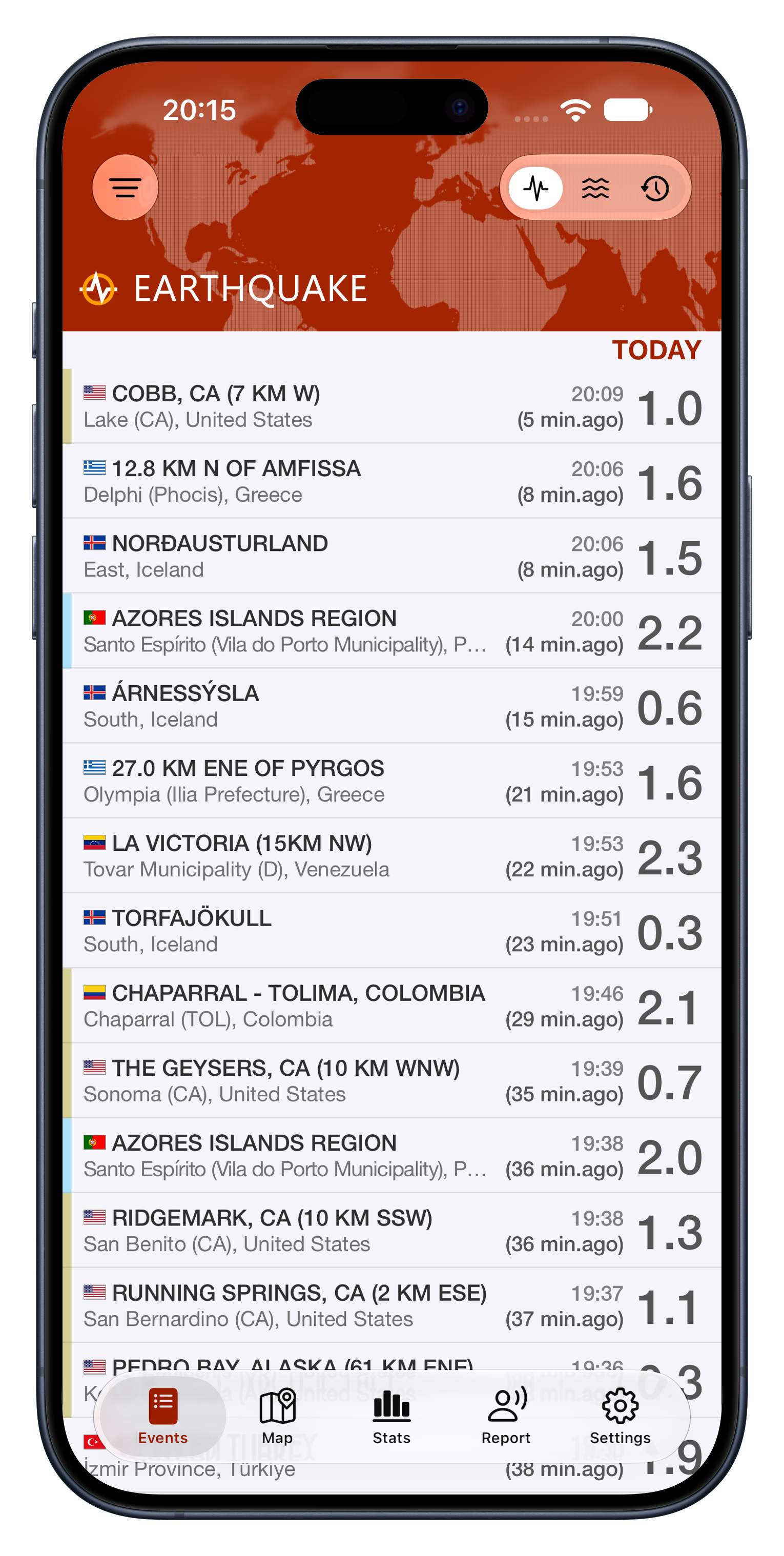
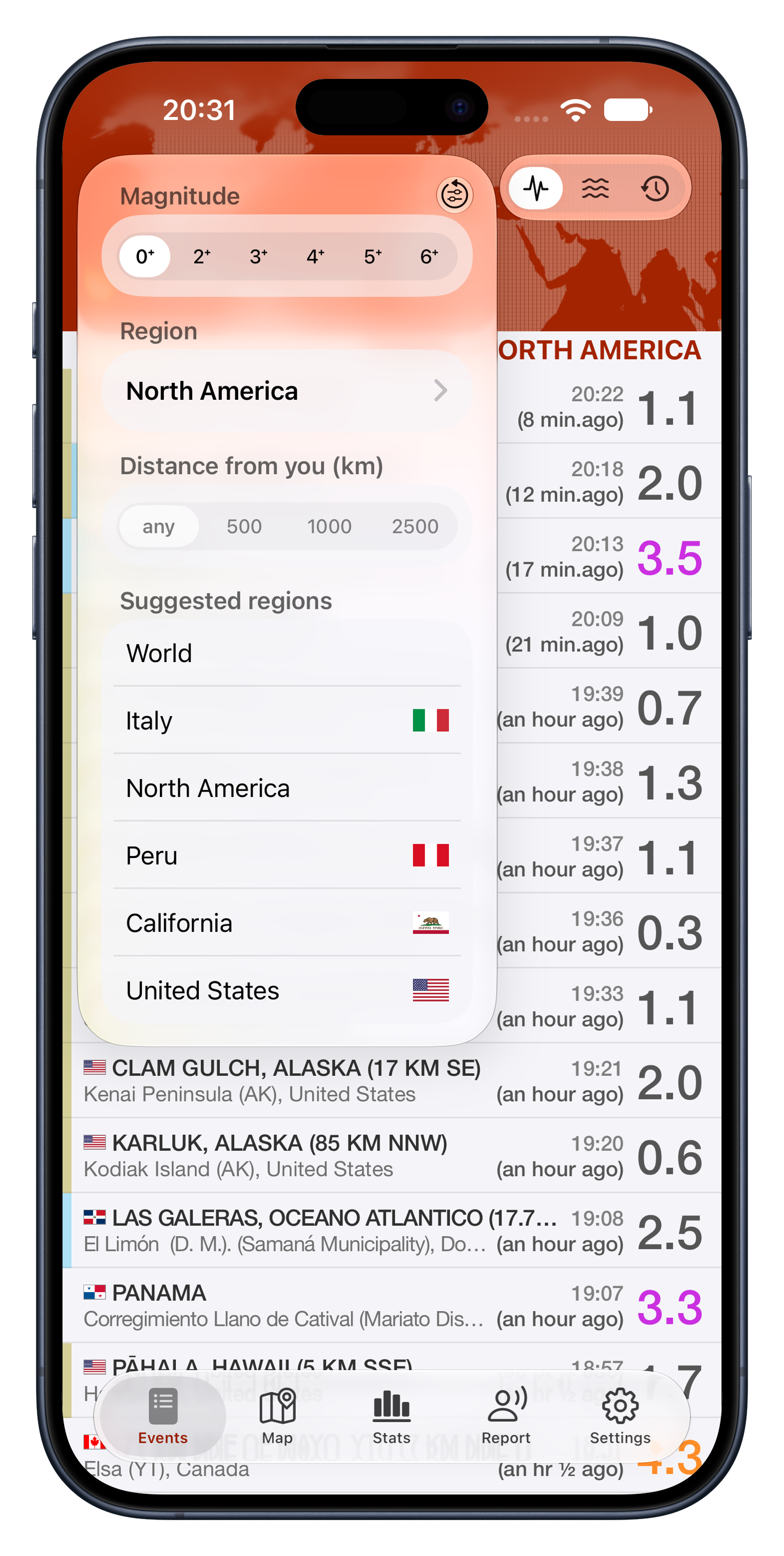
iPhone screenshots
Nine screens in an iPhone frame, PNG, 1530 × 3036, transparent background, captured in October 2026 with live data.
Press kit updated 22 October 2026.