


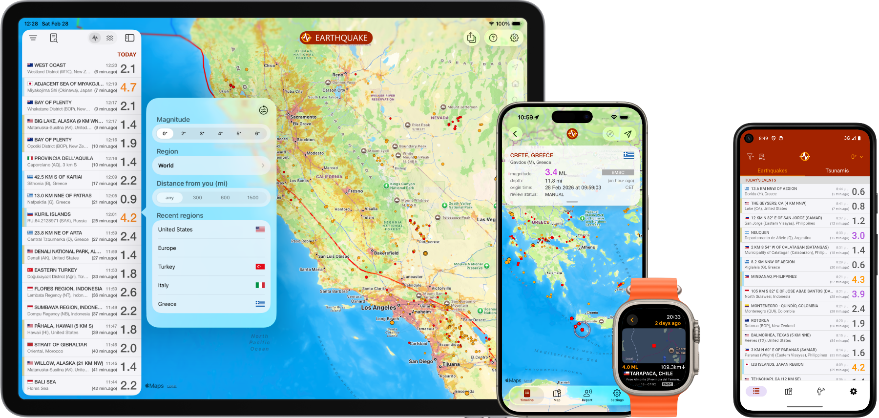

Get events from multiple sources and filter by area or magnitude. Sources include USGS, EMSC, GeoScience, GeoNet, IGN, SSN, BGS, GFZ Geofon, NRCAN, IGP, SED, NOAA, KNMI and many others
Set alerts based on location and/or magnitude and get push notification alerts as soon as the event data is available from an official source
See events on the map with circles of different sizes and colors representing event magnitude and age. A detail view with additional data is available for each event
The earthquake catalog covers all regions worldwide, dating back to 1970. Search by date, region/country, city or reporting agency.
Contribute a report when you feel an earthquake. View a preliminary estimated location based on the analysis of aggregated user reports while awaiting official confirmation.
Dedicated Stats tab with customizable charts: select insights, tweak their display, and pin them to your dashboard for quick access.